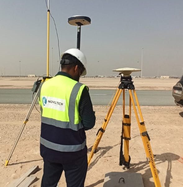
TOPOGRAPHY
High quality maps at any scale
Every engineering design or construction project must employ topographical mapping, which is produced by a topographical survey. The goal of the Topographic Road Survey is to provide geological symbols that represent man-made, natural, and subsurface objects. Additionally, it includes any potential communication and building lines that may be present on the proposed territory.
OUR INFRASTRUCTURE
We use cutting-edge and highly skilled technologies for drone-based topographic surveys of the terrain and 3D aerial scanning. Along with high-quality bathymetry data, we can also offer digital aerial photographs.
- Laser Scanning
- CAD Modelling
- Inspectio

